Our upcoming adventures: Hike, camp, backpack
Hikes
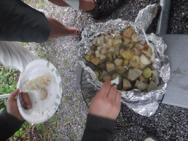 GetHiking! Potluck on the Mountains-to-Sea Trail? along Falls Lake, Raleigh
GetHiking! Triangle, Triad
When: Saturday, Nov. 7, 10 a.m.
Distance: 5 miles
Type of hike: Point to point, with short shuttle
Difficulty: Moderate
Do we eat to hike or hike to eat? It’s a philosophical question that has plagued hikers over the years: is that triple bacon blue cheese burger with onion rings part of a well-orchestrated recovery program designed to help us down the trail the next day, or is it simply the carrot that keeps us moving?
It’s a question we can discuss over a potluck lunch at the end of this 5-mile hike on the Mountains-to-Sea Trail at Falls Lake just north of Raleigh.
After gathering at the Shinleaf Recreation Area, we’ll set one of the most efficient shuttles ever, driving to the trailhead at the Upper Barton Creek boat ramp. There, we’ll hike the 2.1-mile Day-hike Section G of the MST, then cross NC 98 (looking both ways before doing so) and hike the 3.1-mile Day-hike Section H, to the Shinleaf Recreation Area. Once there, let the debate on delectables begin!
Hike leader: Anne Triebert
More info here
GetHiking! North Carolina’s Classic Hikes: Linville Gorge
Linville Gorge, Pisgah National Forest
GetHiking! Triangle, Triad, Charlotte
When: Saturday, Nov. 14, 9 a.m.
Distance: 7.5 miles, 8.7 miles, 12 miles
Type of hike: Point to point, with a lollipop option
Difficulty: Moderately strenuous to very strenuous
Linville Gorge has a reputation as one of the wildest spots on the East Coast. That reputation is well-deserved — if you venture into the gorge. In its 13-mile run through the gorge, the Linville River drops 2,000 feet; from rim to river, there’s a 1,400-foot elevation drop. Since most of the gorge is designated wilderness, whatever happens within — from the occasional landslide to the more frequent drop of a giant hemlock — stays as is. There are trails, but they are generally unmarked and not maintained.
But there’s another way to experience the gorge, which is what we plan to do. We will start from Wolf Pit Road, hike up to Shortoff Mountain, then follow the Mountains-to-Sea Trail along the gorge’s east rim, to Tablerock Mountain. Total distance: 7.5 miles.
This stretch begins with a good climb of a mile up to Shortoff Mountain. From there, it’s three miles of scenic rim hiking before the drop into Chimney Gap and the subsequent climb up to The Chimneys, a challenging 0.9 miles that gains nearly 900 vertical feet.
Stop at Table Rock, or, if you’ve still got a little gas in the tank, add another 1.2 miles for the roundtrip to the top of Table Rock.
Finally, if you’re determined to drop into the gorge, add another 4.1 miles for the drop down Spence Ridge Trail and back for a total distance of 12 miles.
This part of our GetHiking! North Carolina’s Classic Hikes series (see below for more information). It will be the eighth hike in this series of 12 hikes in 2015. Unlike our previous Classic Hikes, which included Long and Short versions, this hike will head out as one; one of the hike leaders will be designated to lead the 7-mile group, which will split from the main group around Schoolhouse Falls. A more detailed account of the route will appear shortly.
This is a fee program; there is a per-hike charge of $25. The fee includes a swag bag, monthly enewsletter and discounts on hiking gear at Great Outdoor Provision Co. You will be sent a PayPal invoice upon signing up for this hike.
Estimated drive time: Charlotte: 2 hours, 15 minutes; Greensboro: 2 hours, 45 minutes; Raleigh: 3 hours, 50 minutes.
For more information on the GetHiking! North Carolina’s Classic Hikes program, go here. To sign up, as well as for more information, contact Joe Miller at joe@getgoingnc.com.
Hike leaders: Joe Miller and Anne Triebert
More info here.
Backpacking
GetBackpacking! Intro to Backpacking
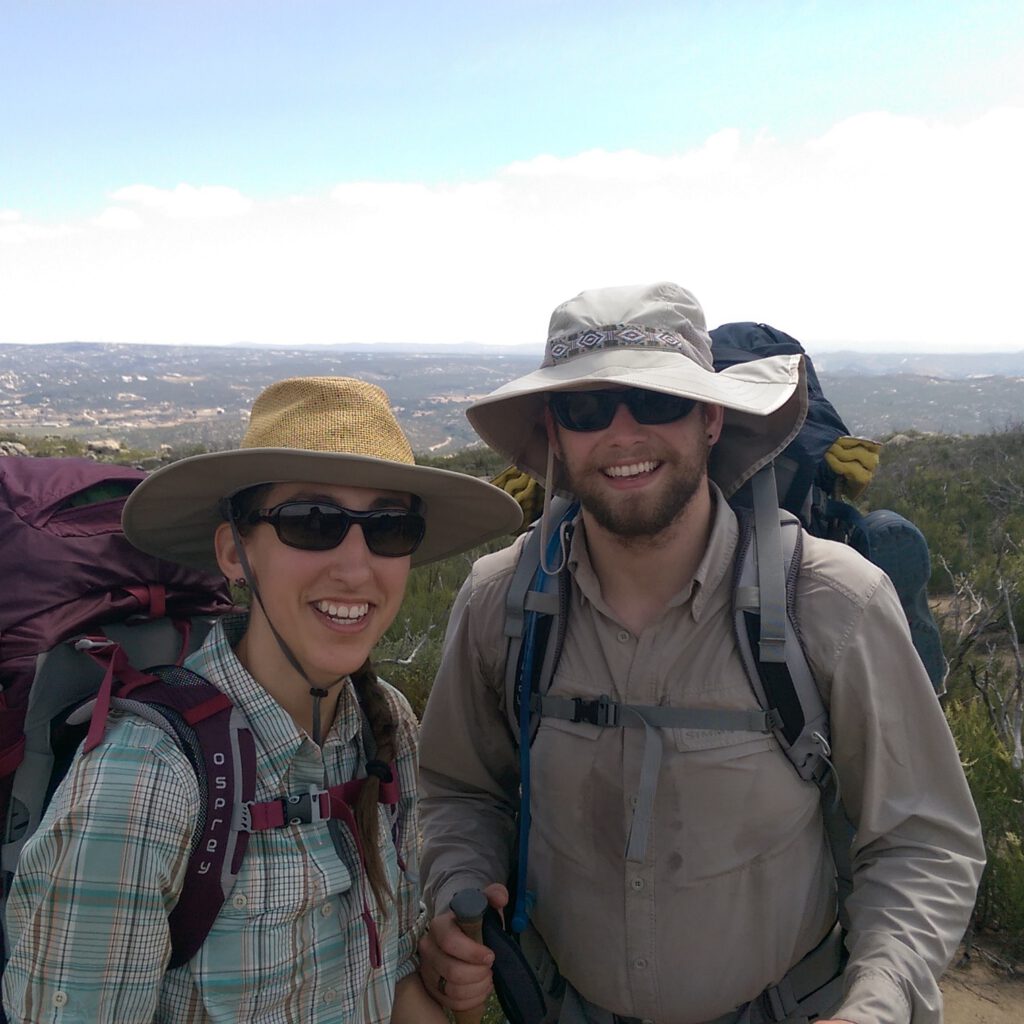 One spot remains for the November session of our four-week Intro to Backpacking course, which begins Sunday. The course consists of three training sessions focusing on a vital skill each week. Week One: Gear and packing; Week Two: Setting up (and breaking down) camp; Week Three: Rustlin’ up a meal. Each session includes a training hike of increasing length: 2, 4.5 and 6 miles. Then, in Week Four, we take a two-night graduation trip to South Mountains State Park.
Each session is limited to 12 participants; a final fall session is scheduled for November. This is a fee course: $75 for the session; Great Outdoor Provision Co. offers incentives, including a $35 gift card.
Learn more about the program here.
Miscellaneous
Great Outdoor Provision Co.’s Coat Swap is an annual event that gives you the opportunity to make a difference in the community, and receive a sweet discount as the store’s thanks. Bring in a gently used coat (jacket, insulated vest, etc) to donate. For each coat you donate, you’ll receive 20 percent off a new piece of outerwear*.
The offer runs Thursday through Sunday. Tonight, at the Greenville store there will be a Coat Swap kickoff from 6-8 p.m. As added incentive, the folks from Duck Rabbit will conduct an onsite tasting, pouring samples — and checking IDs. Details here.
*Exclusions apply
Our last adventures: A Peak experience in Virginia, colorful Raven Rock
It was another great weekend of mountain color for GetHiking! After our North Carolina’s Classic Hikes group visited the Nantahala National Forest two weekends ago, hiking the Bartram Trail and Panthertown Valley, our Triangle, Triad and Charlotte groups convened for trip north, to the Peaks of Otter area along the Blue Ridge Parkway in Virginia.
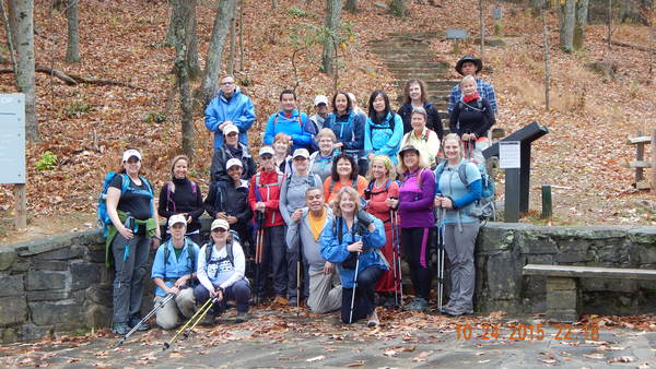
Twenty-seven hikers made the trip on Sunday and were treated to peak fall color. Here’s a sampling of their photo album; for more, visit our Meetup site, here.

Meanwhile, in Greenville, hike leader Andrew reports it was “perfect fall hiking weather” for Saturday’s GetExploring! Greenville visit to Raven Rock State Park.
“We took some time to walk under the Raven Rock along the Cape Fear River while on the Raven Rock Loop Trail,” says Andrew. “We also walked out on the rocks at Fish Traps so we could get a closer look at the rapids. Across the river from Fish Traps we could see remains of the dam and lock that were once on the river.”
Gear of the week: Glove liners
Temperaturewise, it’s in-between season for gloves. On a brisk, fall day with temperatures in the 50s, a full-blown winter glove will give you sweaty fingers. Yet there’s just enough of a nip setting in that your uncovered hands can quickly vent vital body heat. The good news is there’s the perfect solution for your autumn hands. The even better news: it’s a cheap fix.
Polypro glove liners can be had for about five bucks just about anywhere, from the corner convenience store to Walmart. The knit is tight enough to keep your hand heat in, the polypropylene keeps ‘em from staying wet if they get wet, and they’re thin enough to let your fingers do the important things — like adroitly fetch snacks when you’re hungry. Buy a couple pair and keep an extra in your pack. You’ll be a trail hero when your hiking partner complains of the cold.
Tip of the week: Suddenly, you’re lost …
The hiker had an inkling she had strayed from the intended route when she noticed the blazes were white, not the yellow the hike leader had instructed the group to follow. A couple minutes later she encountered hikers coming from the opposite direction. “Have you seen a group of people?” she asked. “Nope,” came the reply. Despite having two clear signs she had strayed, she continued on. Why?
“I figured I’d come to a road and figure it out from there.”
Did I mention she didn’t have a map?
Taking a wrong turn on a hike is easy: you get in the zone, a song gets stuck in your head, you start thinking about trying to not think about work … . But once you realize that you’ve strayed, you need to pop back to reality. Retrace your steps immediately and start searching for the right trail. Try to recall the last time you knew you were on the right path so you know not to retrace your steps too far. If you were supposed to be on the yellow trail the entire hike, keep an eye out for that first yellow blaze, then reverse course and look for the turn. Otherwise, keep an eye out for clear areas along the trail that could be another trail spinning off; when you find one, you should be able to see a blaze from the junction of the two trails.
Be proactive. Don’t assume things will work out.
And take a map.
Resource of the Week: Pumped up for hiking
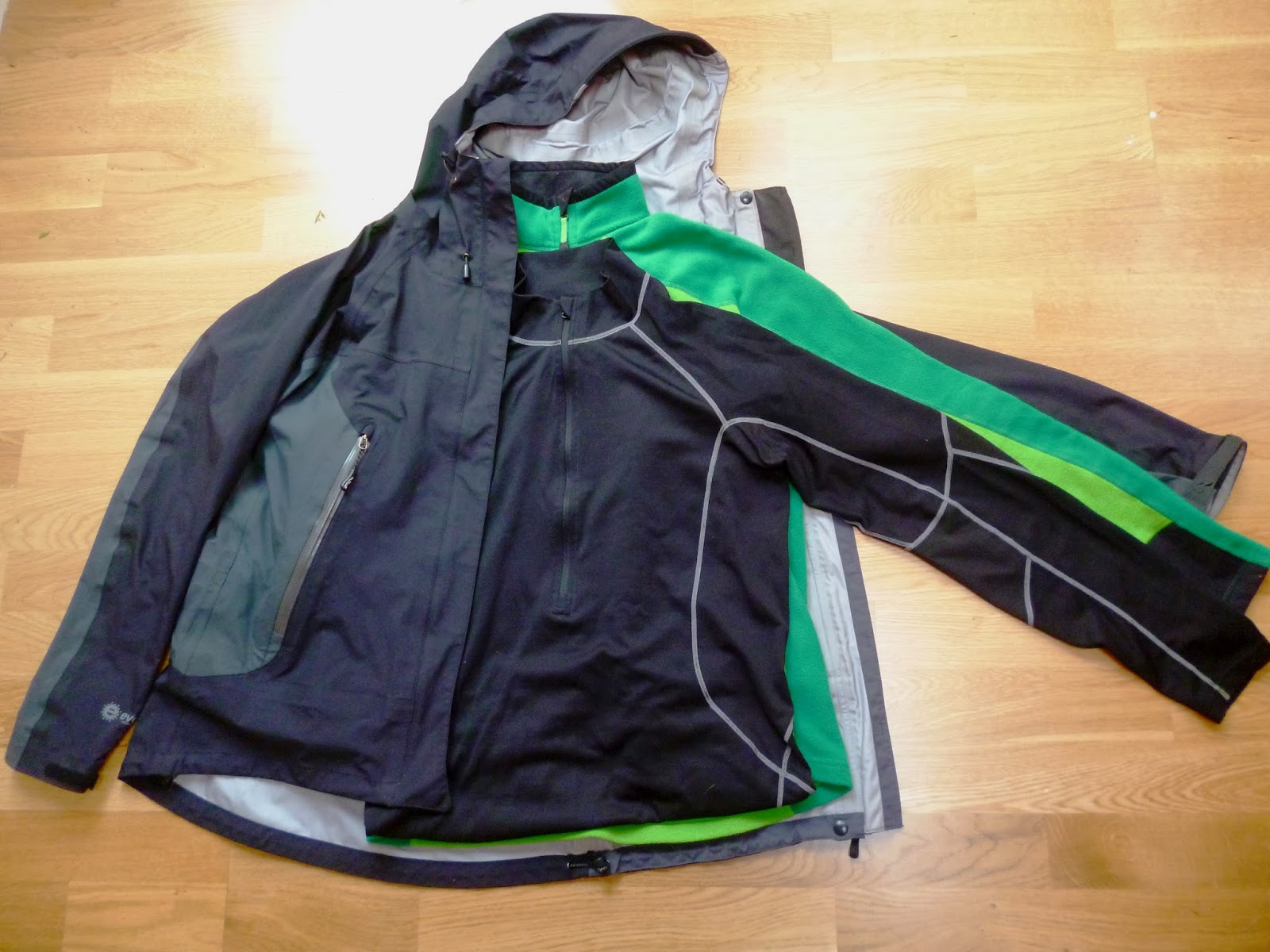 You look forward all week to finally getting out on the trail come the weekend — and once you’re there, you poop out after a couple miles. Make the most of your all-to-sparse trail time by training specifically for it.
So what exercises are good for hiking?
Check out this brief, to-the-point training advisory from the folks at Backpacker.com. The good news? You don’t need a bunch of fancy equipment. You aren’t looking at a CrossFit commitment, either.
Start your training here.
