Looking to launch your own long hike, a section hike on North Carolina’s Mountains-to-Sea Trail?Here’s one of our favorite MST routes to get your section hike off the ground.
Region: Piedmont
Start: Pennys Bend Nature Preserve, Old Oxford Highway at Snow Camp Road, Durham. Map here.
Finish: Elbow formed by the meeting of Redwood Road and Tom Clark Road in Durham. Map here.
Distance: 9.7 miles
Difficulty: Moderate
Estimated time (including shuttle): 5 hours
Facilities at the trailhead: No
Resource: “Mountains-to-Sea Trail Guide: Piedmont,” Day-Hike Sections R, S, T. Find the online guide for these segments here.
Shuttle: 10 minutes. We’re assuming you are either hiking as a group and thus, can set a shuttle, or that a friend is assisting. In either event, leave your car/a car at the elbow of Redwood and Tom Clark roads, and follow the shuttle route in this map to Pennys Bend Nature Preserve.
The hike: Perhaps the most remote 10 miles of the Mountains-to-Sea Trail in the Triangle — and some of the most diverse. The lone downside of this hike comes at the start: crossing the narrow bridge over the Eno River on often busy Old Oxford Highway. Skeddadle across, then hang a quick left into the woods, where you’ll pick up a small creek, then head east through bottomland forest that soon climbs a bluff overlooking the Eno. Incentive for hiking in winter: the naked canopy allows a rare Piedmont panorama to the north.
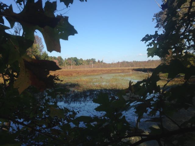
Continue along the bluff, being careful not to get sidetracked on the old roads that cross the trail. After a couple miles, the trail descends back to bottomland woods on approach to Red Mill Road. A less busy road crossing and you’re soon mixing between bottomland woods (soggy in wet weather), old farm meadows and brushes with the upper reaches of Falls Lake. Cross a rail line, more meadows, a planted pine forest, an abandoned rail line, a sizable abandoned barn. Cross beneath a power line and you’ll know you’re about to complete your crescent hike back to Red Mill Road. This time, hug the left shoulder, cross New Hope Creek, head back into the woods.
Initially, you’re in a tangle of bog, with some assist from boardwalk. Check out massive Mount Slag to your right, pass a beaver dam, circle a small farm pond, walk the banks of a larger pond, a stretch that’s especially nice late afternoon in the fall. Regardless of the season, expect your pace to slow. You’ve hiked more than 9 miles, for one. And your day on the trail, alas, is about to end.
