Had Frank Sinatra been a backpacker, he might have compared Love and Marriage to summer and backpacking.
OK, maybe the syncopation isn’t there. But the sentiment is.
Summer and backpacking in the Southern Appalachians: the sunny warm days, the cool nights, the quiet (if you know where to go). Backpacking is the ideal way to wring the most out of an Appalachian summer, and we’ve got five perfect weekend getaways here that ol’ Blue Eyes would have crooned about had he been a little less Vegas, a little more vagabond.
North Carolina
1. Deep Creek Loop | Great Smoky Mountains National Park
Bryson City
13.5 miles
No. of days: 2-3
The Great Smoky Mountains National Park is known for its challenging backcountry escapes that penetrate deep into the rugged woods. But there are also opportunities to probe the fringes and get a taste of this national treasure. One such opportunity is the Deep Creek Loop. From the trailhead, head up the old roadbed along Deep Creek. Don’t be alarmed by the legions of tubers walking in step on a hot summer’s day; they’re only going about a mile up. You, on the other hand, will continue in solitude along Deep Creek on this foot-friendly trail. You’ll find your first dedicated campsite a little over 2.5 miles in, three more between miles five and six, all along the water. (Note: backcountry campsites in the Smokies are by reservation; 865.436.1200 for details.) Six miles in, take the Martins Gap Trail for a somewhat challenging (though not long) climb, to the trail’s namesake geographic feature, then return on the Sunkota Ridge Trail. There’s plenty of water along the first six miles, along the last mile or so as well. To turn this trip into a base-camp hike, establish roots at one of the three sites between miles five and six and explore any of several trails taking you deeper into the Smokies.
More info: “Backpacking North Carolina” (2011, UNC Press), Trip No. 42.

2. Panthertown Valley
Cashiers
1-mile backpack in, 30 miles of day-hike options beyond
No. of days: 2-4
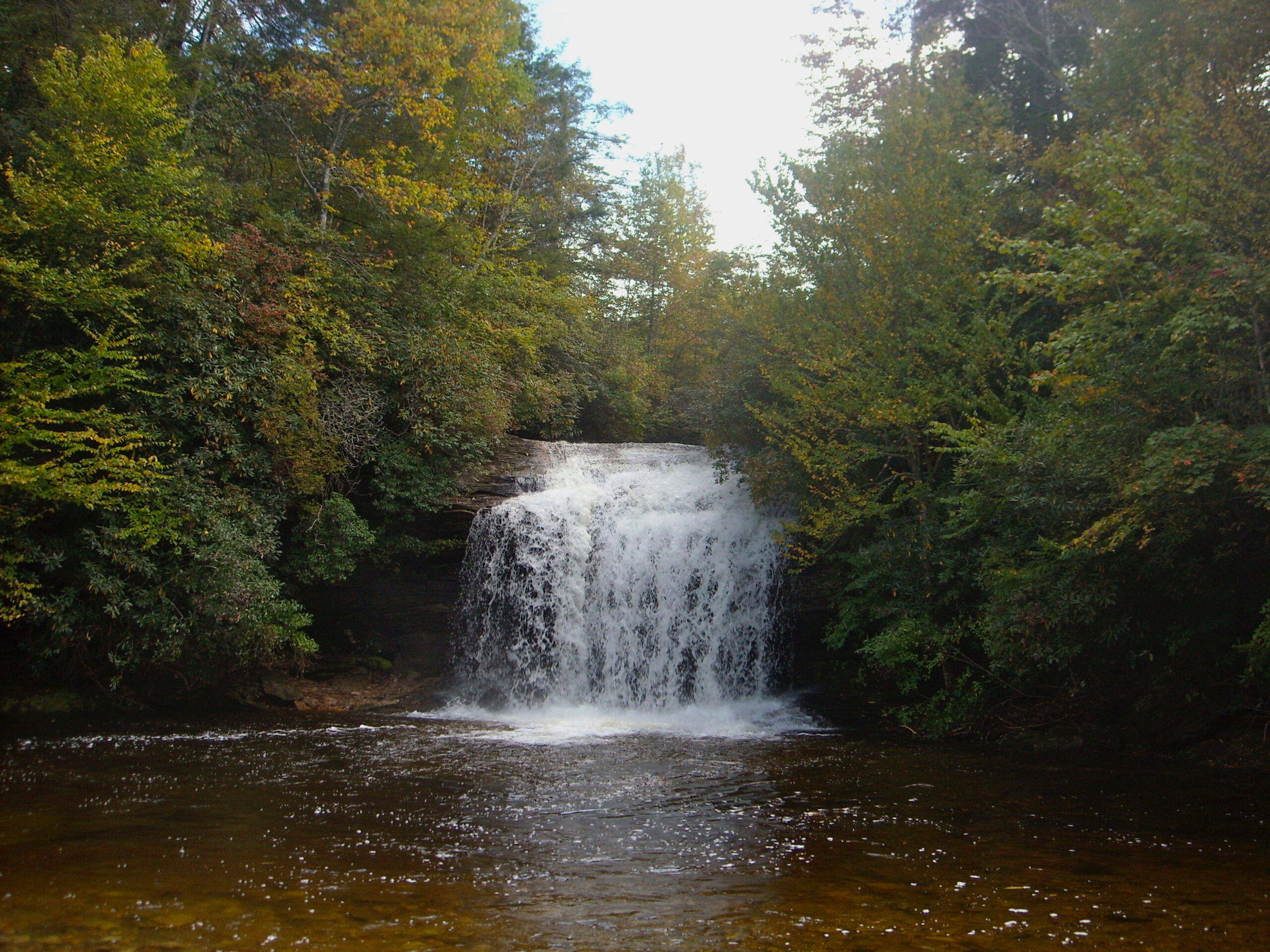
Don’t like the notion of taking a 30-pound pack with you everywhere you go? Then you’ll love Panthertown Valley. From the trailhead it’s a speedy one-mile descent to the main primitive camping area along Panthertown Creek. Set up camp, then explore the multitude of day hike options on 30 miles of trail that explore this 6,700-acre oasis of waterfalls and exposed outcrop yielding great views. Note: You should always have a map when you go backpacking; if you don’t have a map in Panthertown Valley, you could be in for the longest trip of your life: very few of the many trails here are marked. If you’re good with a compass and orient yourself well with recognizable landmarks, you might be fine. Otherwise, invest in Burt Kornegay’s invaluable “A Guide’s Guide to Panthertown, Bonas Defeat, and Big Pisgah,” and go forth with confidence.
More info from Friends of Panthertown Valley, and at “Backpacking North Carolina” (2011, UNC Press), Trip No. 42.

3. Appalachian Trail: Carver’s Gap to U.S. 19E
Bakersville
14 miles
No. of days: 2-3
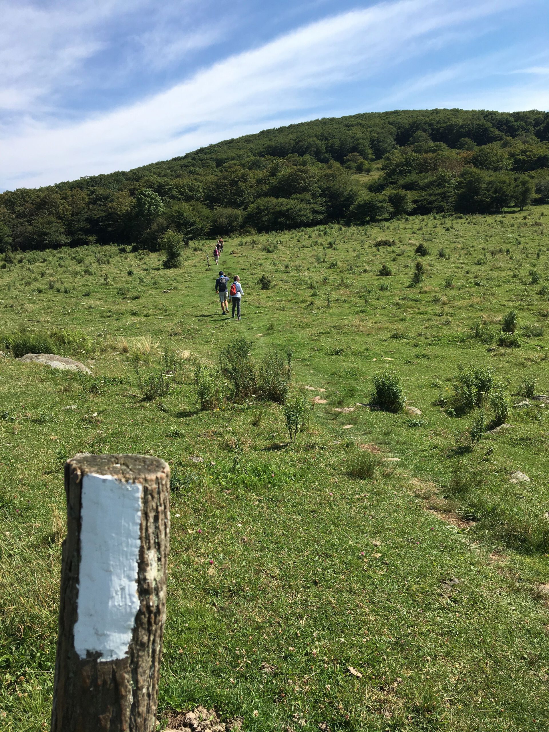
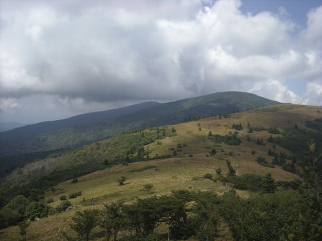
When you hear ardent backpackers refer to this stretch of trail straddling the North Carolina/Tennessee line, it’s usually in hushed tones, often on bent knee. On most trips, there’s one scenic highlight you look forward to; on this trip, it’s scenic highlight after scenic highlight, starting with three balds — Round, Jane and Grassy — in the first two miles. On a steamy summer afternoon down below, here, flirting with 6,000-foot elevations, you may well need to don a light fleece as you gawk at the enveloping panoramic views. You spend a little time in the ridgeline woods, then emerge back into bald heaven, with Little Hump and Hump mountains giving you more pull-up-a-Helinox views. The wooded 5-mile hike out gives you time to reflect on a most memorable trip. And campsites abound: Grassy Bald, Stan Murray Shelter (3.4 miles), Overmountain Shelter (5), Bradley Gap (6.8), Doll Flats (10.7). A shuttle from Mountain Harbour B&B and Hiker Hostel a short distance from trail’s end eliminates the biggest logistical challenge of this one-way trip.
More info here.
Virginia
4. Appalachian Trail: James River to Punchbowl Mountain
Lynchburg, Va.
20 miles (round trip)
No. of days: 2
This trip is especially good for Triangle backpackers who want to hike the Appalachian Trail: it’s the closest the trail comes to home — about three hours — just west of Lynchburg. And it’s one good experience. From the trail access near the James River, the AT gains 1,625 feet in a little over two miles. It’s some serious dues paying, but once you reach Fullers Rocks, the heavy lifting (and breathing) is pretty much done. From there, its 3.5 miles of hiking along Big Rocky Row, through Saddle and Salt Log gaps and around Silas Knob before a less severe climb up Bluff Mountain and stellar views east, north and west. A mellow descent takes you to the Punch Bowl Shelter, which makes for a nice overnight. Water is scarce from the mile-mark until Punch Bowl, so plan accordingly (and while there is a spring at Punch Bowl, it’s unprotected and needs treating). You can either return the whole way on the AT, or take alternate trails down the mountain at Salt Log and Saddle gaps.
More info from The Appalachian Trail Conservancy
5. Mount Rogers National Recreation Area
Abingdon, Virginia
4-mile backpack to base camp, various day-hike options
No. of days: 2-5
Though in Virginia, it’s probably the most popular backpacking destination for North Carolinians, certainly those from the Triad and Triangle regions. The reasons are numerous. For starters, Mount Rogers is the perfect venue for a base-camp style approach to backpacking. From the backcountry parking area at adjoining Grayson Highlands State Park, it’s a 4-mile hike in — and up — to Rhododendron Gap, where you’ll find a spring and a near-endless supply of great campsites. Establish camp, then explore any number of day-hike options, starting with the Appalachian Trail, which runs through the gap. Head west on the AT (south in the AT’s north/south orientation), for instance, and a spur trail takes you to the top of Mount Rogers, at 5,729 feet the highest point in Virginia. Ironically, there are no views from the wooded summit — ironic because the rest of the Mount Rogers National Recreation Area is one big view. Vast open meadows and craggy outcrops give the region a western U.S. feel, complete with panoramas. With dozens of miles of trail, there’s plenty of hiking to be done. Caveat: The weather here can be tricky. Check the forecast before departing — then pack for any possibility. The shoulder seasons can be particularly deceiving.
More info from the USDA Forest Service website
* * *
