Whether you’re a hiker who hibernates over the winter or a year-round hiker who loves layering, spring is when we all get itchin’ for a mountain hike. To see mountain wildflowers in bloom, to catch a whiff of sun-warmed galax, to savor a mountaintop view.
Pro tip: always check the forecast before heading out.
Here are 10 suggestions for mountain trails suitable for an early season visit.
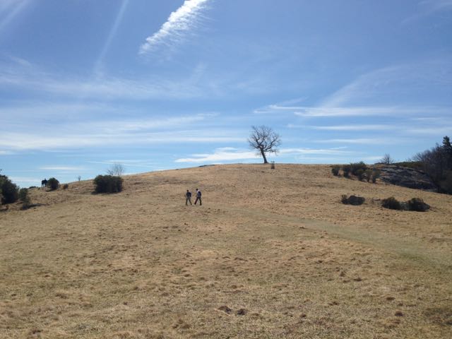
Doughton Park
30 miles of trail
Blue Ridge Parkway near Roaring Gap
Doughton Park offers some of the Southeast’s best mountain hiking, period: the ridge-top Bluff Mountain Trail rolls over mountain meadow after mountain meadow, and the four trails that climb the Blue Ridge Escarpment from the base offer a range of hiking experiences. Starting from the Longbottom Road trailhead at the base, we suggest heading up on the 4.4-mile Cedar Ridge Trail, hiking south on the Bluff Mountain Trail, then heading down on either Grassy Gap Road or Flat Rock Ridge Trail, for a 16- to 18-mile circuit.
More info here.
Panthertown Valley
30 miles
Cashiers
For a relatively low-lying area — the valley tops out at just over 4,000 feet — it offers some awesome alpine adventure. Waterfalls — Schoolhouse, Granny Burrel and Greenland Creek among them — great views from atop the slickrock slab that is Little Green Mountain, valley hiking through white pines along Panthertown Creek. Caution: Be sure to take a map, the trails aren’t well marked.
More info here.
Graybeard Mountain
30 miles
Montreat
Twenty-one trails explore the 2,500-acre Montreat Wilderness, part of the Montreat Conference Center. Most are short, but there is a grandaddy: the Graybeard Trail climbs 4.8 miles to the top of 5,408-foot Graybeard Mountain. It’s a mostly wooded hike, but good views can be had by taking the Walker’s Knob spur.
More info here.
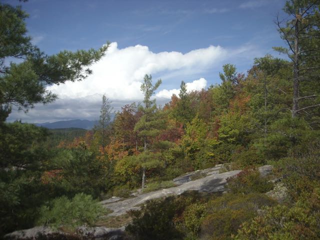
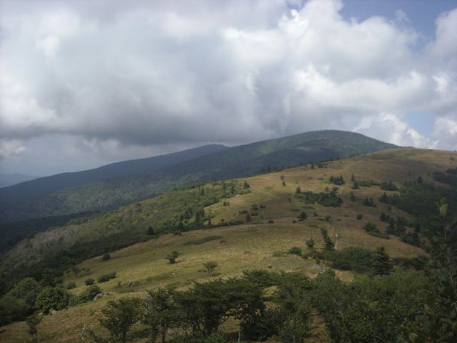
Shining Rock
50+ miles
Blue Ridge Parkway near Waynesville
The Blue Ridge Parkway from Pisgah Inn west to the Smokies is closed much of the winter due to the snow and ice that tends to stick around above 5,000 feet. So when the Parkway does thaw, one of the first places we love to hit is the Black Balsam Access at Milepost 420.2. From here, you can head west to the Sam Knob area, east to Graveyard Fields, or north to Investor Gap and the Shining Rock Wilderness. Views abound.
More info here.
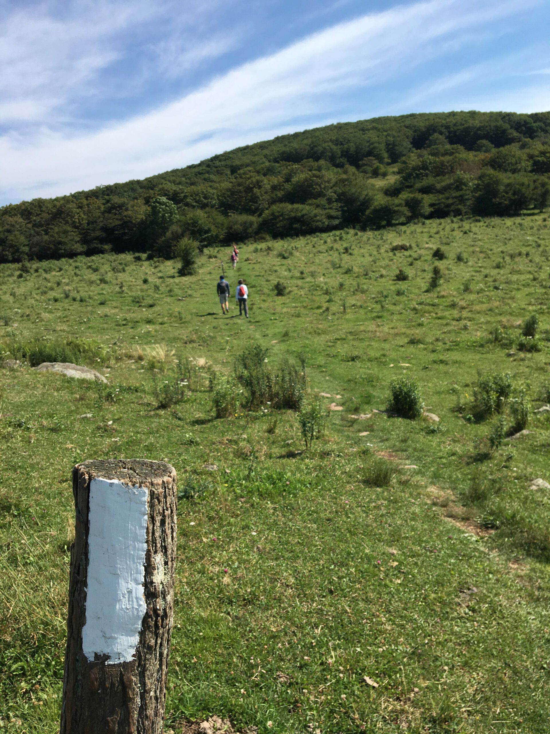
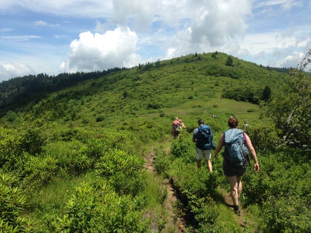
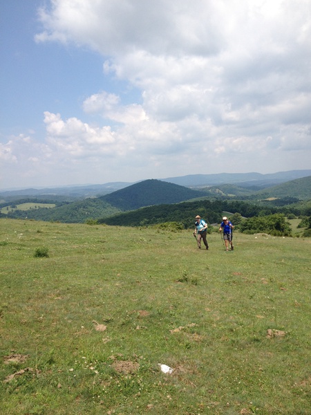
Grayson Highlands State Park / Mount Rogers
50+ miles
Mouth of Wilson, Va.
Mount Rogers is the Mount Mitchell of Virginia: not beholden to forecasts, the weather here can change in an instant. It’s a little risky for an early season visit, but stay low and you should be safely rewarded with hiking through open meadows and over rocky outcrops that will make you sure you’re hiking out West.
More info here.
Tanawha Trail
13.5 miles
Blue Ridge Parkway / Grandfather Mountain
The Jeckyll and Hyde of trails, the Tanawha, part to the Mountains-to-Sea Trail, is rugged and rocky from its southern origination point at Beacon Heights north to the Boone Fork Parking Area. Here, you’ll have little doubt you’re hiking the base of Grandfather Mountain. Then, the trail transforms into a gentle meander through mature hardwoods and across small mountain meadows on its way to Julian Price Park.
More into here.
Hawksbill Mountain
3 mile loop, with longer options
Shenandoah National Park, Va.
Hawksbill, at 4,050 feet, is the highest point in the Shenandoah National Park: why not shoot for the top on an early spring foray into the mountains! Take the steep 1.7-mile out-and-back or the 2.9-mile loop trail, from MP 45.6 on Skyline Drive. Connect to the Appalachian Trail to extend your hiking time.
More info here.
Rock Castle Gorge
10 miles
Blue Ridge Parkway Milepost 167 in Virginia
This gorge hike starts with a 3-mile descent from the Parkway, then gradually climbs out of the gorge over the next 7.3 miles. Along the way you’ll pass through rhododendron hells, along a frisky mountain stream, past long-abandoned buildings. Enough distractions to keep your mind off the fact the elevation on this hike ranges from 1,700 to nearly 3,600 feet.
More info here.
Appalachian Trail at Carver’s Gap
14 miles or shorter
Carver’s Gap, where NC 261 and TN 143 butt heads at the state line
Technically, this hike is downhill: it starts high and ends low. But there’s still a lot of up and down along the way. A fabulous hike if you have the time and early season stamina; otherwise, hike out to Round Bald, Jane Bald, then Grassy Ridge — an out-and-back of about 4 miles — for the best views in the Southeast.
More info here.
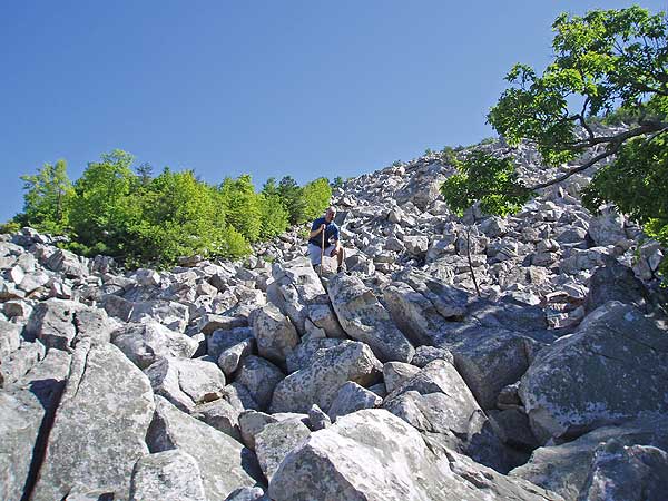
Devil’s Marbleyard
3-4 miles
James Face Wilderness, west of Lynchburg, Va.
This is the kind of outdoors stuff you loved to do as a kid: climbing and scrambling over and squeezing through house-size boulders spilling down the slope, then stretching out to catch some rays on a slab warmed by the spring sun. About a mile hike in; the rest of your mileage depends on your inner-monkey.
More info here.
* * *
For more hikes, visit our GetHiking! Resource Page, here.