This fall, in conjunction with GetGoingNC and our joint GetBackpacking! program, we’ve been sponsoring a series of Pints & Paths nights. We share a brew, then a hiker with experience on one of the nation’s long trails shares her or his experience and offers tips on how you, too, can take on one of these hiking gems. As part of this program, we’ll be offering tips on how you can launch your Section Hike on North Carolina’s long trail, the Mountains-to-Sea Trail. This is the third of four suggested hikes to get your section hike off the ground.
Region: Piedmont
Start: Gravel parking lot on Strawberry Road (7000 block), right off US 220, Greensboro. GPS: 36.175803, -79.879484.
Finish: Lake Brandt Marina, 5945 Lake Brandt Road, Greensboro. GPS: 36°10’03.5″N 79°50’12.8″W.
Distance: 8.1 miles (with options for another 11 more)
Difficulty: Moderate
Estimated time (including shuttle): 4-5 hours
Facilities at the trailhead: No, but at least twice along the way.
Resource: City of Greensboro Hiking Trails web page.
“Mountains-to-Sea Trail Guide: Piedmont,” p. 77-78. Follow eastbound mileages 45.2 to 53.4. Find the online guide for Segment 8 here.
Shuttle: 7 minutes. We’re assuming you are either hiking as a group and thus can set a shuttle, or that a friend is assisting. In either event, leave your car/a car at the Lake Brandt trailhead and drive 7 minutes to the Strawberry Road trailhead and the start of this section. Here’s a map of the shuttle.
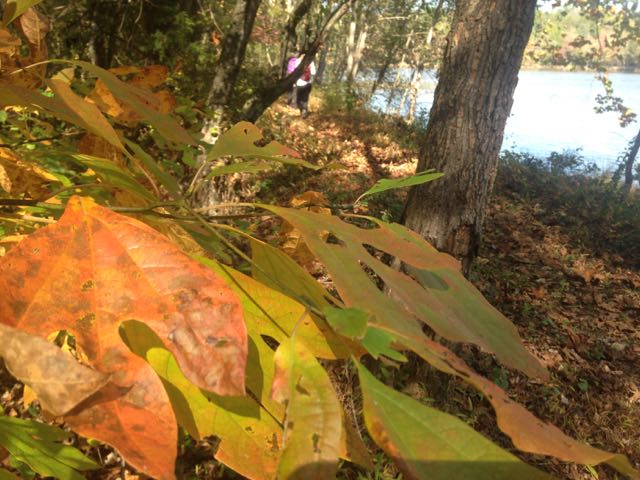
The hike: Imagine waking one morning and thinking, “Maybe I’ll start Section Hiking the MST. And maybe I’ll start today, with an 8-mile hike.” It could happen if you live in Greensboro, where much of the population is a short drive from 18 miles of MST along the city’s watershed lakes, specifically Lakes Brandt and Townsend.
From the trailhead parking lot off Strawberry Road, where they MST descends from the north, pick up the Atlantic Yadkin Greenway portion of the MST and take the pedestrian bridge across Lake Brandt. At Bur-Mil Park (where there are facilities), pick up the 4.3-mile Owl’s Roost Trail, which resembles a county fair roller coaster as it rolls along the wooded south shore of the lake. (Note: you’ll be sharing this section of the MST with mountain bikers on a trail deemed the best urban mountain biking trail in the land in 2003 by Bicycling Magazine.)
Owl’s Roost loops back to the Atlantic Yadkin Greenway: cross another bridge, then pick up the Nat Greene Trail, which tightly hugs the lake as it works its way northeast. There are no mountain bikes here (they’re on the paralleling Wild Turkey Trail), making for a quieter, less looking-over-your-shoulder experience. End at the Lake Brandt Marina.
Unless you’re up for more: the MST continues for another 11 miles along the south shore of Lake Townsend.
* * *