So your favorite trails remain open, and who doesn’t appreciate the fact that a hike, now more than ever, will do you a world of good. Still, you worry about contact with other hikers — even in the wide-open outdoors. Pick your trails wisely and you may not see a single soul, even at some of the most popular hiking venues around.
We’ve identified several of the places you love to explore most, and the trails within that are explored least. For the most part, it’s a matter of knowing where to start your hike.
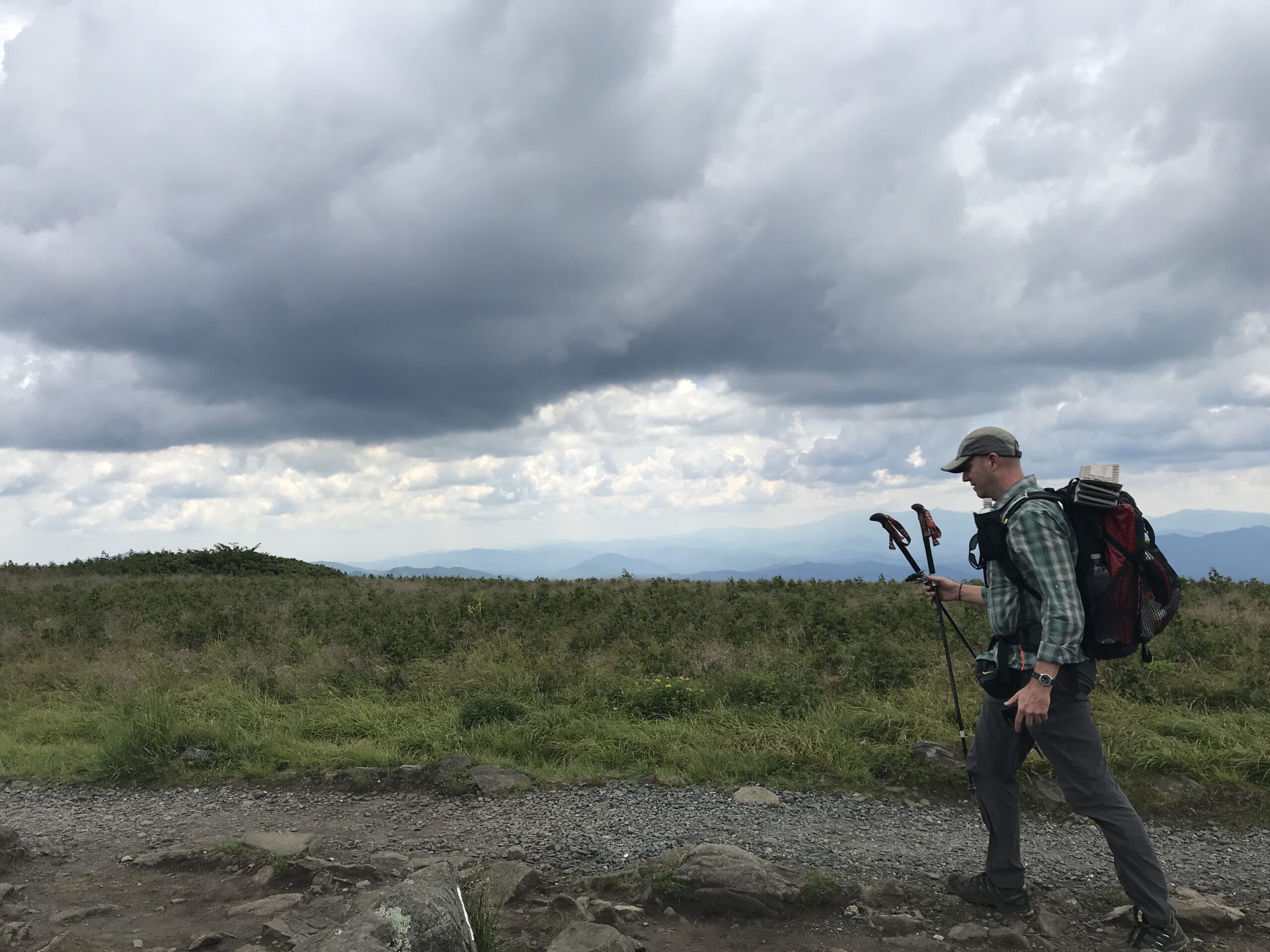
Pilot Mountain State Park
Pinnacle (north of Winston-Salem)
On a spring or fall weekend, it can talk a half hour just to find a parking space in the main lot atop popular Pilot Mountain. But crowds are the least of your concerns if you opt for one of these three Pilot Mountain options:
- Pinnacle Hotel Road Access. From here, on the south flank of Pilot Mountain, you can pick up the 4.3-mile Mountain Trail which, linked with a mile-and-a-half of the Grindstone Trail, gives you a peaceful loop of nearly 6 miles around the base of the mountain. No mountaintop views, but serene passage through a largely hardwood forest with some bouldery sections.
- Boyd Nelson Road Access. This newish access on the far northwest side of the park serves the 3.3-mile (6.6 miles out and back) Pilot Creek Trail. The trail plays tag with its namesake creek, and passes through a variety of wooded environments. The PCT terminates at the Grindstone Trail, for additional exploring.
- Yadkin River Section, with two access points. The Ivy Bluff Access opens to a short (1.3 miles) trail on the south side of the river; from the Bean Shoals Access take the Horne Creek and Yadkin Islands trails for a 4-mile loop that’s both mountain woods and Piedmont river.
For more information on paying a visit, go here.
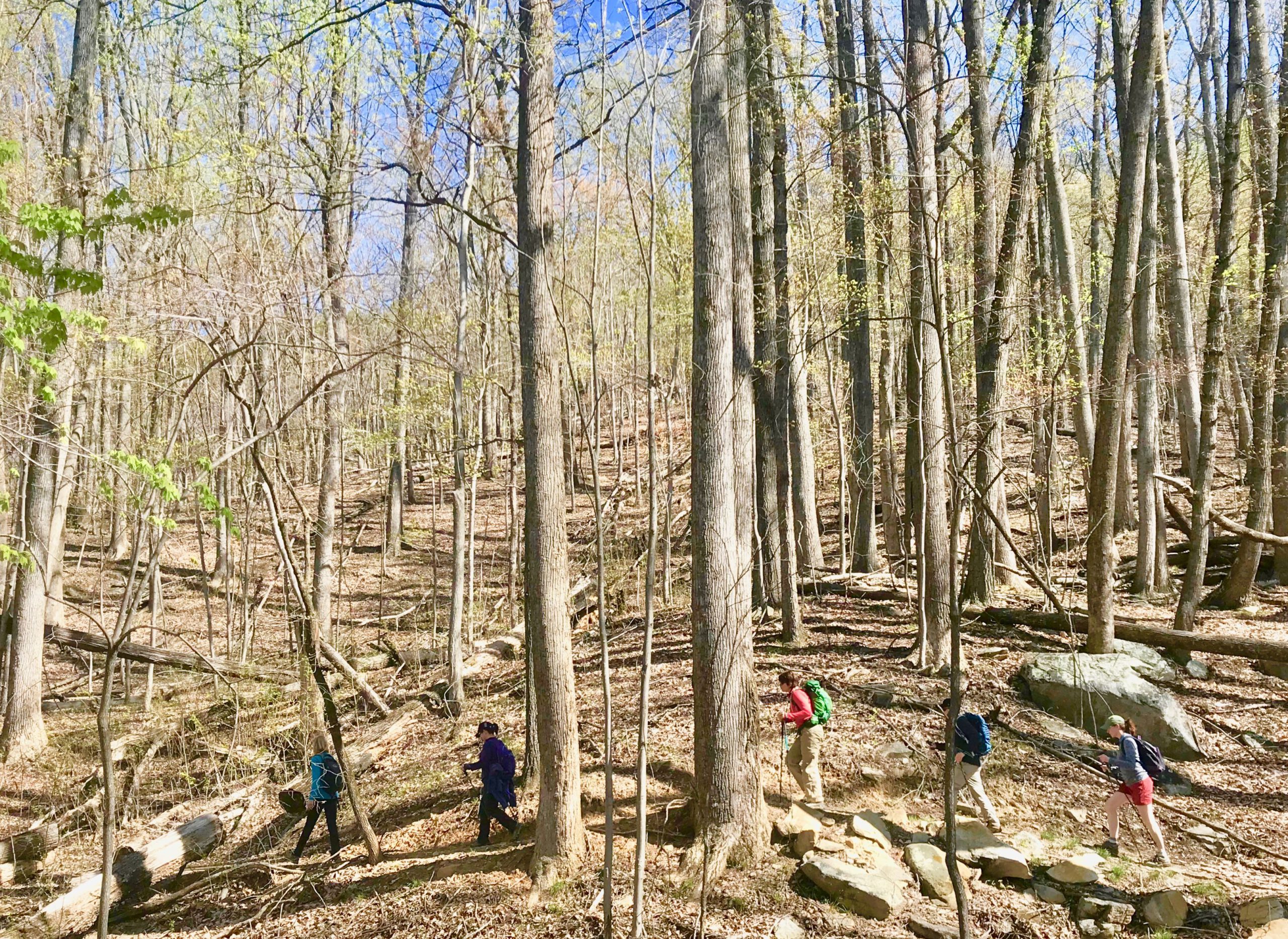
Crowders Mountain State Park
Kings Mountain (just west of Charlotte)
Crowds at Crowders Mountain have gotten so bad that shuttles have been implemented from outlying locations to the Sparrow Springs Access. Instead, we recommend checking out:
- Boulders Access on the far southwestern end of the park, near the South Carolina line. From here, you can hike 5 miles north on the Ridgeline Trail to The Pinnacle, or a little over a mile south to a connecting trail in South Carolina’s Kings Mountain State Park. A particularly nice option is to hike north, to NC 161 and return, a roughly 5.5-mile hike.
For more information on paying a visit, go here.
Eno River State Park
Durham
Enter “Eno River Sate Park” into your GPS device and it will take you to the Fews Ford Access, which apparently is what most people do. But there are four other main access points to this linear park along the Eno; in decreasing order of popularity, they are: Cabe Lands, Cole Mill, Pleasant Green, and our nominee for most solitary:
- Pump Station Access. Part of the reason there’s not as much traffic here: it’s on a gravel road and the only parking is roadside. But does it offer options! The Pump Station loop is 1.5-miles and takes in a bottomland forest that’s rife with spring wildflowers in March. You can also take the 2.2-mile Laurel Bluffs Trail downstream along the Eno to Guess Road, or take the trail upstream through one of the more challenging stretches of the park, between Guess Road and the Cabe Lands Access.
For more information on paying a visit, go here.
Mountains-to-Sea Trail
From Clingman’s Dome on the Tennessee line to Jockey’s Ridge at the coast, passing through the Triangle and north of the Triad along the way.
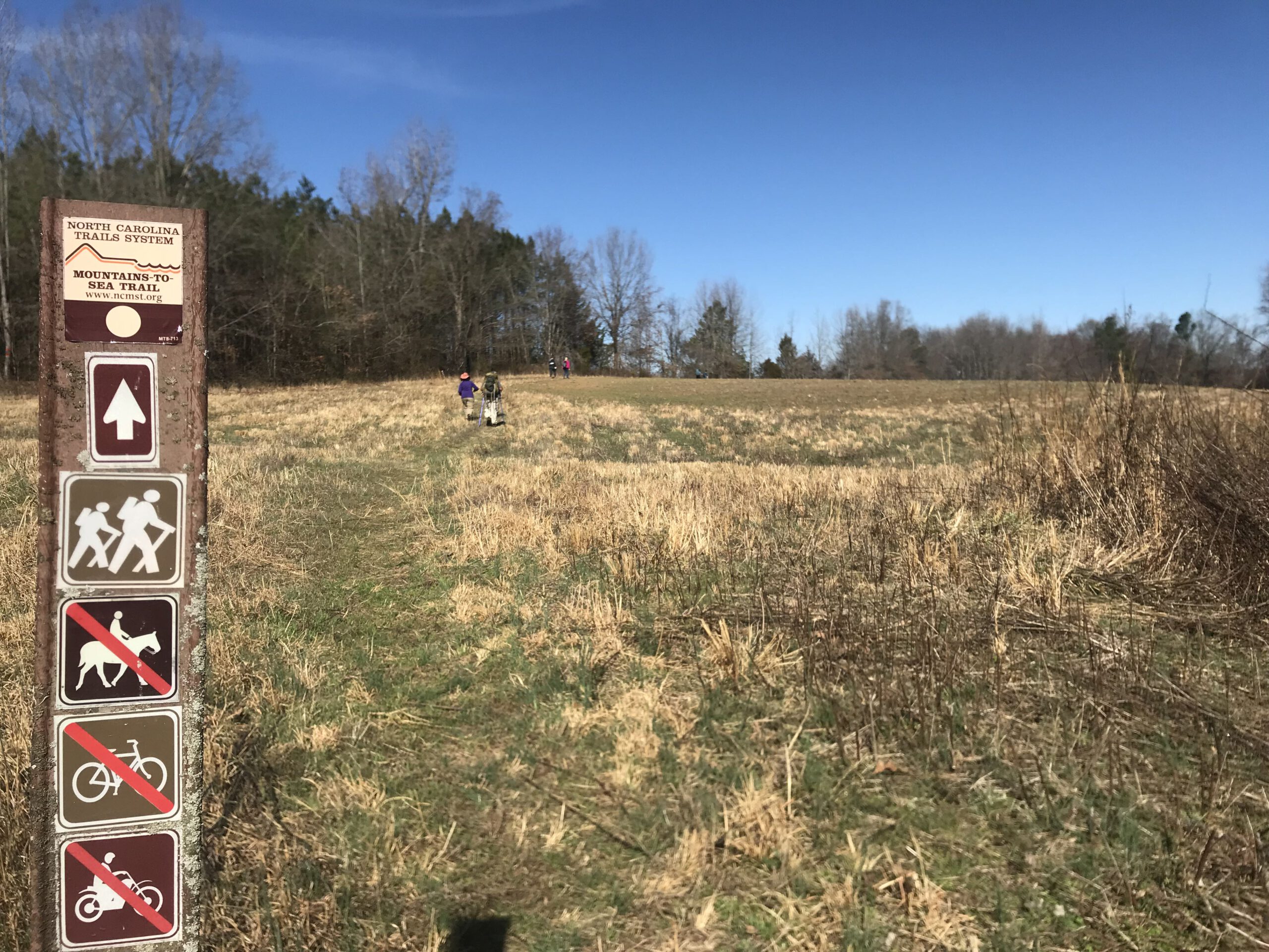
The 1,175-mile MST is ideal for escaping hordes of hikers, especially on its passages through two of the state’s biggest population centers:
- Triad. From Pilot Mountain State Park east to Hanging Rock State Park, this roughly 36-mile trail has numerous access points. About 6 miles of the trail are on paved roads, but those stretches are easily avoided by using the MST’s online trail guide (see below). A good starting point is the Brim’s Grove Parking Area (again, see the online guide).
- Triangle. So many opportunities on the trail’s 77.6-mile run, from Eno River State Park to the Falls Lake dam. On the MST website, the trail is divided into 24 day-hikeable sections of a mile to 7 miles in length, with access points provided. Our favorite: the 4.8-mile stretch in Durham County beginning on Red Mill Road near the Eno River and ending on Red Mill Road near Ellerbee Creek. Meadows, woods, views of the late — lots to see on this hike.
Learn more about exploring the MST here.