 Paddling. Camping. And, of course, hiking. All the things that November is ideal for.
We’ve covered the first two in previous posts: paddling here, camping here. Today, we make our case for hiking.
Make our case? Sounds like November hiking needs a defense. If you’ve been out at all this month, you realize that’s hardly the case. Why?
- The best of two seasons. November blew into the region riding the crest of fall color; midmonth, it’s still hanging in there. Fall-like temperatures near 70, clear skies. Who doesn’t want to be on the trail for that? Then, within the past week, the temperature dropped about 20 degrees. Suddenly, we’re in more of a winter frame of mind, hiking in fleece, wearing gloves and a hat — Hey! Did I just see my breath?
- Where is everybody? Hiking this past weekend at Umstead State Park, in the heart of the Triangle, we drove to the Sycamore Trailhead expecting to wait for a parking spot. Blue sky, temps in the upper 40s, the beech and poplars still ablaze in yellow. The lot was half full. We saw only a handful of people all afternoon.
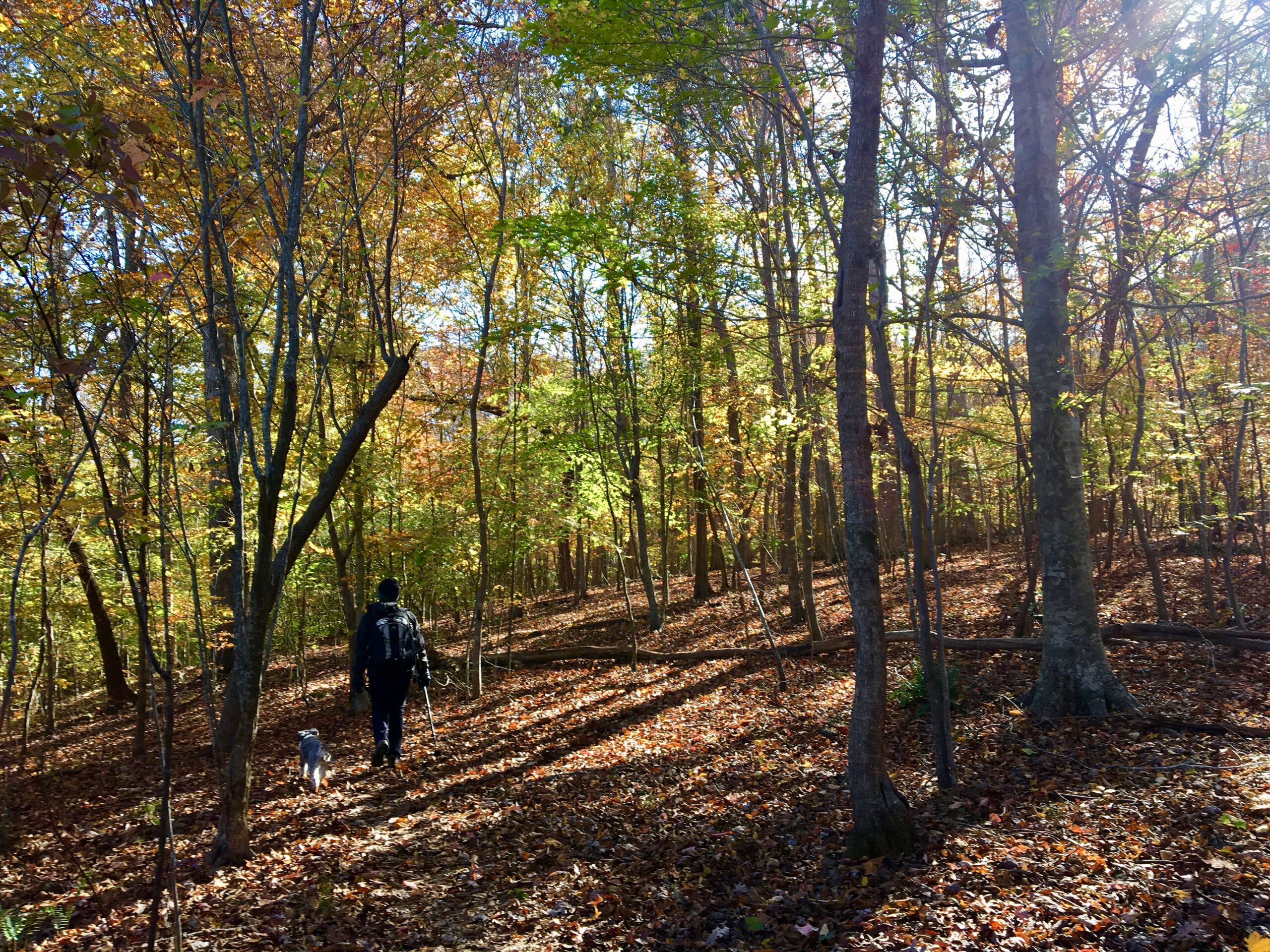
- Look! November offers a first opportunity to enjoy the outdoors stripped of its camouflage. Minus its leaves, the forest is a tell-all: you can see much farther down the mountain and up the trail, wildlife has fewer places to hide.
- Listen! There’s a curious quiet that settles in with winter’s approach. In part it’s the crisp air, in part the absence of baffling foliage. Take the time to stop and listen.
- The calm before the storm. Face it: once December and the holidays roll around we get busybusybusy. November could be your last chance for a decent trail outing until 2018. (Yikes!)
That covers why you should hike in November. Now five thoughts on where you should hike — that is, five hikes that seem especially well-suited for November.
1. Occoneechee Mountain State Natural Area
Hillsborough
3 miles
Initially, the trail snuggles up to a noisy I-85, but in less than a half mile the trail veers north, then turns east where it becomes besties with the Eno River. This is the topographical low point of the hike, but its scenic zenith: the 30-foot cliff immediately to your south is home to Catawba rhododendron, mountain laurel, galax and other plants more common to the Southern Appalachians. From there, a stout climb to the top of a long-abandoned quarry operation that hacked away the northwest flank of the mountain offers a long view to the north and west.
For directions and more info, go here.
2. Falls Lake Trail, Day-Hike Sections S, T
Durham County
8.7 miles
D-H Section T runs along the Eno River from Pennys Bend Nature Preserve downstream to Red Mill Road. A little over a mile from Pennys Bend the trail finds itself atop a bluff maybe 70 feet above the Eno. It’s not that high, but high enough come late November, to give a nice view of the countryside to the north. D-H Section S, which begins at Red Mill Road and runs a crescent before returning to Red Mill Road to the south, includes nice passages along and above some more remote inlets of Falls Lake.
For directions and more info, go here.
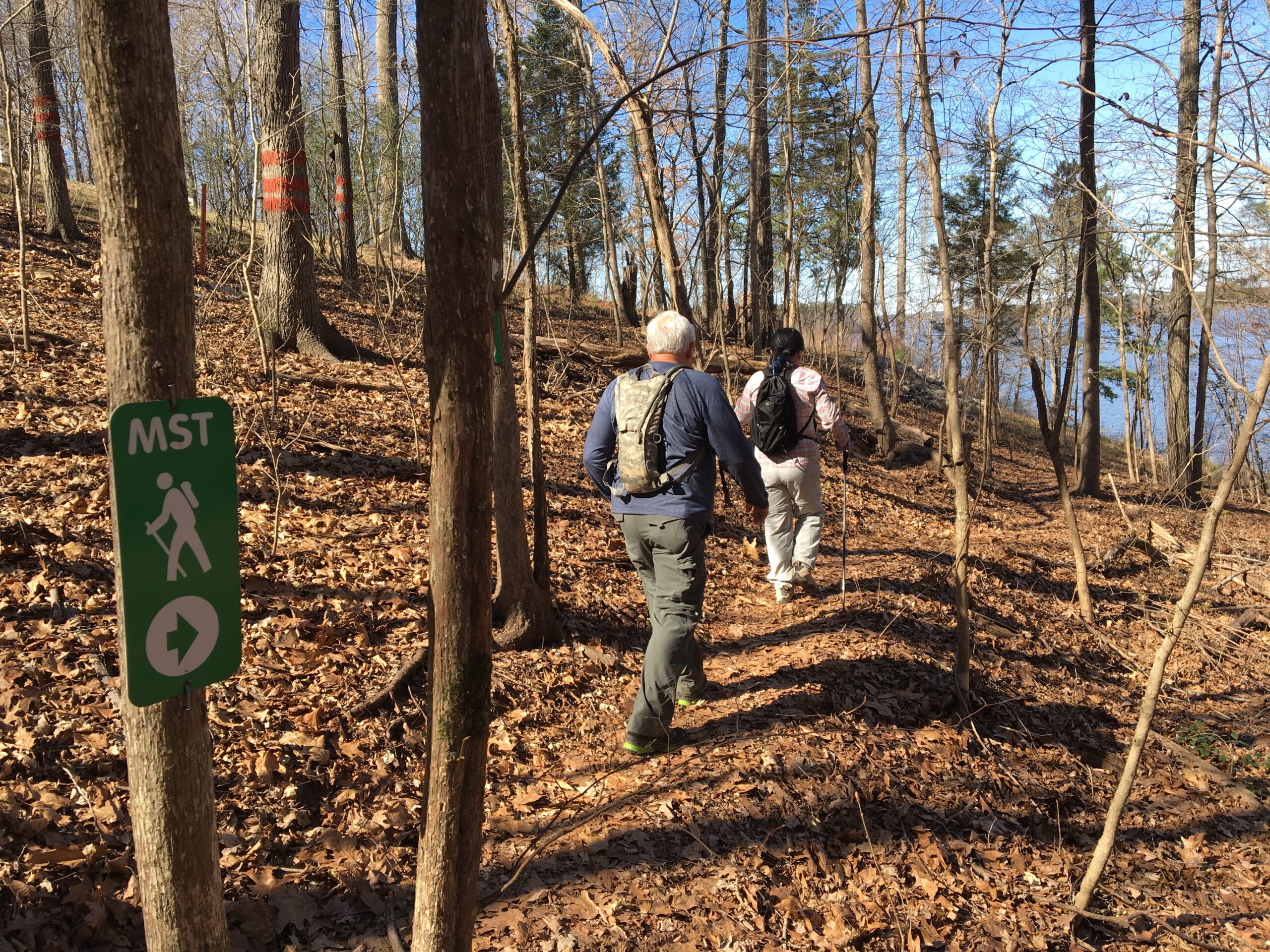
 3. Eno River: Cabe Lands Access to Guess Road
Durham
6.2 miles
This stretch, part of the Mountains-to-Sea Trail, runs along the south bank of the Eno River and offers some of the best scenic hiking along the popular waterway. From the Cabe Lands Access head east (downstream) and into some of the most vertically challenging terrain along the Eno. Truth be told, they’re just some quick ups-and-downs, but the passages take you into cozy ravines, atop bluffs offering good peeks at the Eno below, and through bottomland forest.
For directions and more info, go here.
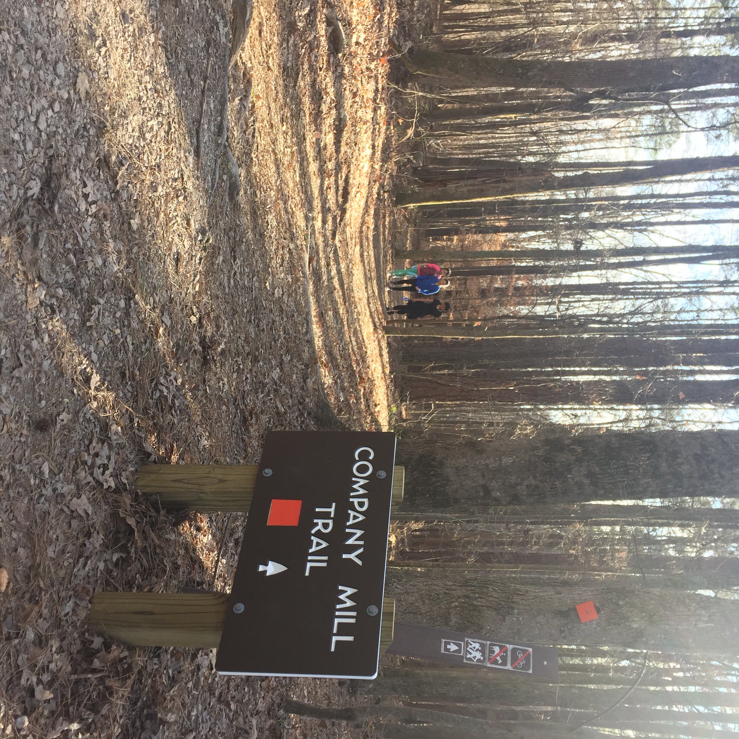
4. Umstead State Park: Company Mill Trail
Raleigh
5.9 miles
This is probably the most popular trail in a very popular (1.8 million visitors in 2016, making it the most visit State Park in N.C.) park. At least the first mile is: The trail crosses three mild ridges on its way down to Crabtree Creek. This is the destination for a goodly number of Company Mill hikers, especially those with kids and dogs. Linger a moment at the creek, where a breached mill dam creates a minor cascade, then cross the green bridge and go right. The trail follows Crabtree Creek for a spell, then climbs, crosses a bike and bridle trail, touches Sycamore Creek, then returns, bringing you back to the bridge over Crabtree and your mile-long climb back to the trailhead.
For directions and more info: Go here.
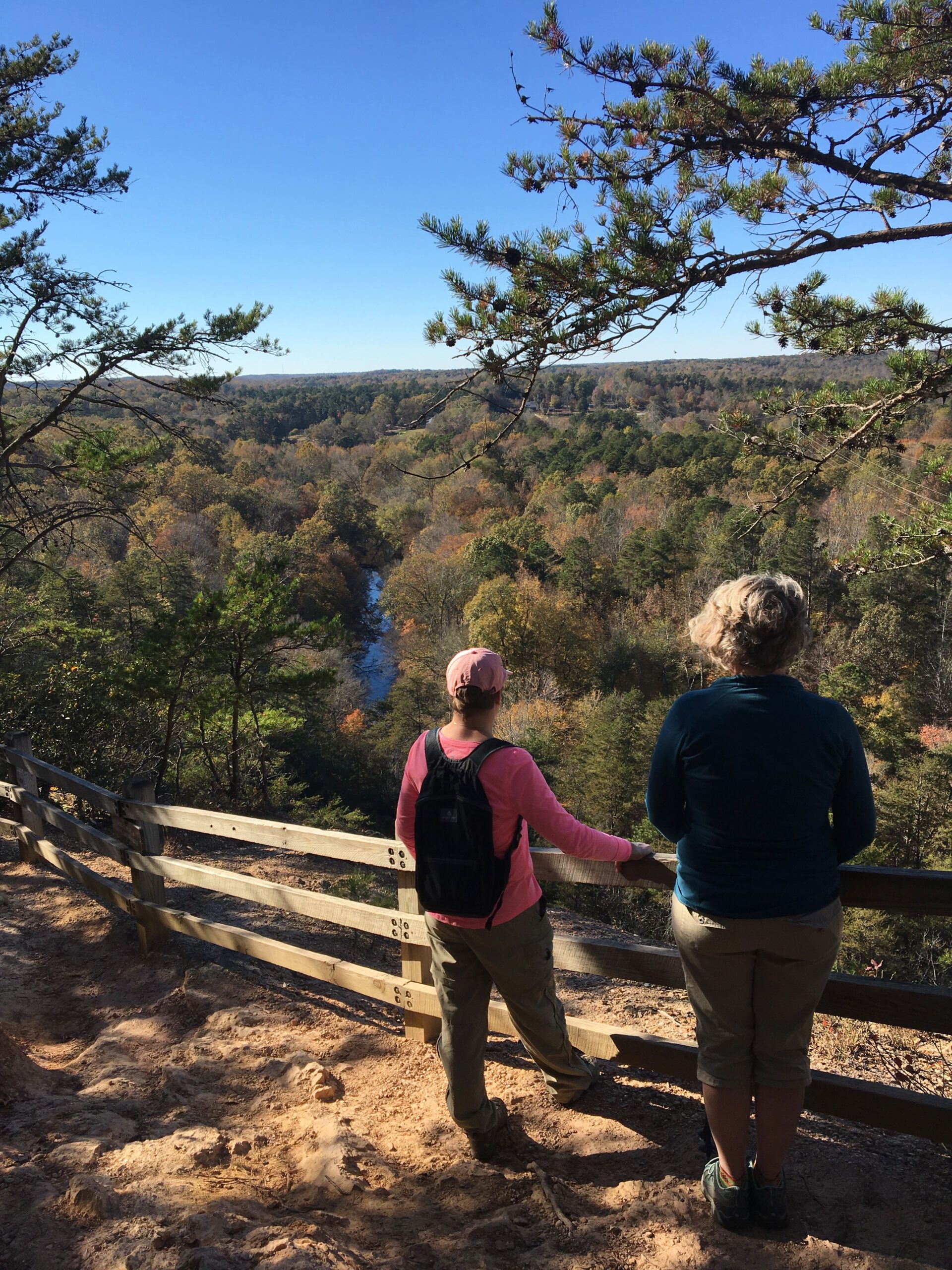
5. Raven Rock State Park: Campbell Creek Trail (et all)
Lillington
5+ miles
Raven Rock is a gateway park, luring newbies with short hikes such as the 2.6-mile Raven Rock Loop Trail, which takes hikers to Raven Rock, a 150-foot bluff overlooking the Cape Fear River. A viewing platform offers a 180-degree views up and down the Cape Fear and north into relatively flat terrain where the Piedmont and Coastal Plain merge. Tack on the adjoining 1.5-mile Little Creek Loop Trail for a surprisingly green hike (holly and mountain laurel) during an otherwise drab time of year. A wander down the Fish Traps Trail (0.6 mile, one way) takes you onto an outcrop in the Cape Fear. By then, you’ll be so smitten that the 5-mile Campbell Creek Loop Trail won’t seem like any big deal.
For directions and more info: Go here.